Sellabödeli, Pizzo Fortünéi e Monte Prosa

Information
| Date: | 30 September 2021 |
| Maximum height: | 2828 m |
| Difference in height: | 900 m |
| Length: | 10 km |
| Kilometers effort: | 22 kmef |
| Duration: | 5 hours and 30 minutes |
Difficulties (Automatic translation in english)
Comment (Automatic translation in english)
Today's excursion in the Gotthardpass area with an ascent to Sellabödeli, Piz Fortünéi and Monte Prosa (east summit). The peak without a name on the national map, west of the Gloggentürmli and at an altitude of 2810 metres, is already called Pizzo Fortünéi by many people. I approve of this choice, which also seems the most logical since Fortünéi is the name of the alp below.
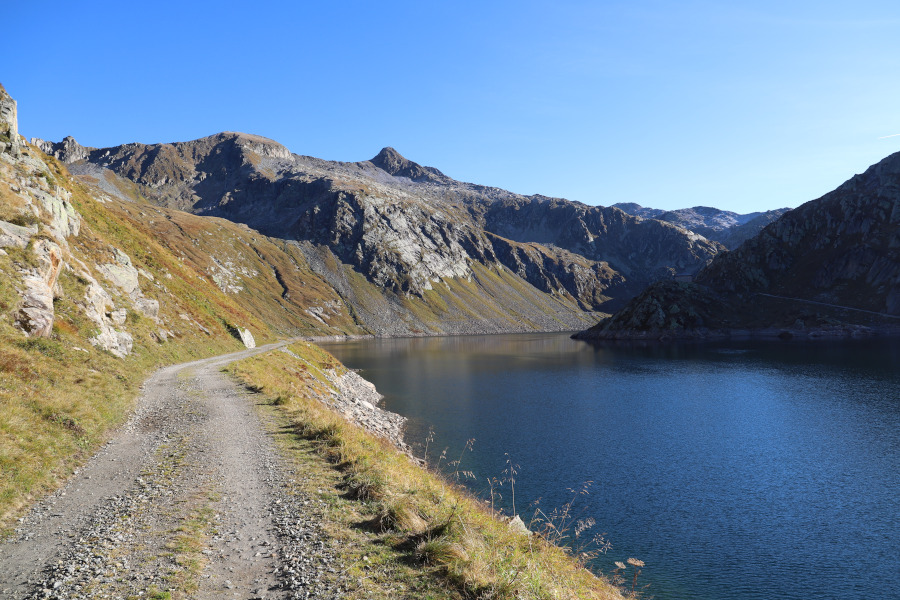
The hike begins near the Lago della Sella dam, from where we start walking along the road that runs alongside the lake. We then climb up along the path that leads to the Gloggentürmli, a rock formation that is easily recognisable from afar because it has two large stones, projecting towards the sky, similar to a large V. Once we have reached the mouth, we continue to the right, staying on the north side of the ridge and, after passing a few rocky areas, we reach the summit of the Sellabödeli.
After a moment's rest, we descend again to the Gloggentürmli and begin to climb up the ridge on the other side. When we reach the summit, which is listed at 2781 metres, we turn slightly to the right and soon reach Piz Fortünéi (peak listed at 2810 metres on the national map).
After a longer pause than the previous one, we start walking again and descend towards the Bassa della Prosa. Along the ridge, there are some rocky stretches that can be bypassed on the left. When we reach the pass, we decide to climb Monte Prosa, but only the eastern, easier peak. We leave the central peak, the highest, for another time.
We then descend again to the Bassa della Prosa and head across the pastures to the Cascina della Prosa. Once there, we follow the road back to our starting point.
Water (Automatic translation in english)
All along the trip there is little and not very reliable.


Comments (0)