Poncione di Mezzo e Poncionetto
Information
| Date: | 11 October 2023 |
| Maximum height: | 2471 m |
| Difference in height: | 960 m |
| Length: | 8.2 km |
| Kilometers effort: | 21 kmef |
| Duration: | 5 hours and 30 minutes |
| Lakes reached: | Lago di Mottella Inferiore |
| Lago di Mottella Superiore |
Difficulties (Automatic translation in english)
Comment (Automatic translation in english)
Since we are now at the end of the season and the daylight hours are dwindling, today I decide to take a not-too-long hike up to the Mottella Lakes and then to Poncione di Mezzo.
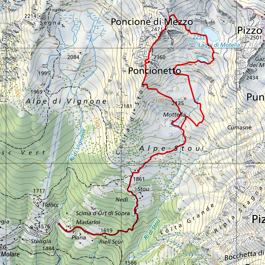
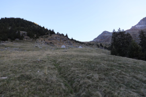
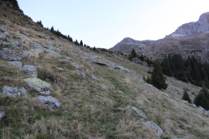
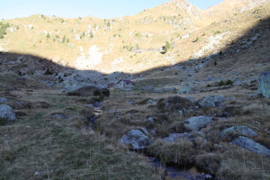
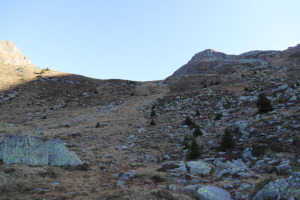
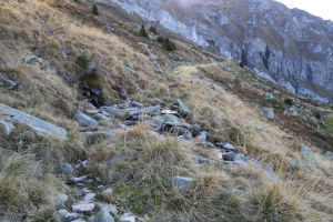
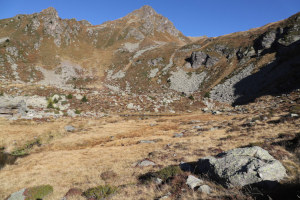
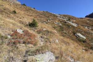
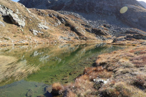
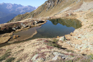
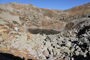
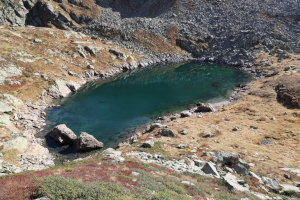
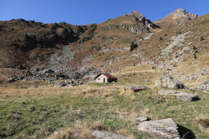
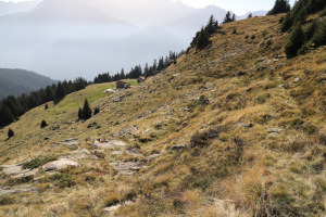
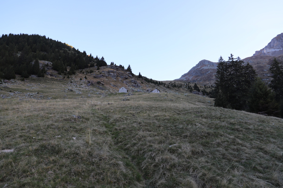
First I start by reaching the village of Molare, in the Leventina Valley, after which I climb up the road on the right until I reach the car park at an altitude of 1581 metres. At that point I start walking along the rest of the small road until I reach Riell Scür, where I take the path that goes up to Alpe Stou. Once I reach the alp, I continue following a slight track that climbs north-east to an altitude of 1960 metres, where it almost disappears. I then climb up the meadows until I reach Alpe di Mottella and then continue to climb northwards to an altitude of 2050 metres. At that point I find another track that continues to the south-east. I manage to follow it up to an altitude of 2100 metres, after which it too disappears. I then head north and, after crossing a plateau, climb up the slope on the other side until I reach the Mottella Lakes.
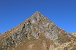
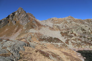
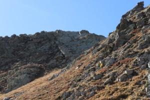
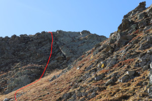
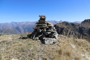
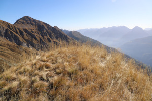
After a short break, spent photographing the lakes, I head northwest following a slight track and some old red paint marks. Having reached an altitude of almost 2400 metres, I abandon the track, which would continue towards the Gana Rossa hut, and head south. In this way I reach the north face of Poncione di Mezzo, which I decide to climb about 30 metres to the left of the north ridge. At that point, in fact, there is a kind of gully, partly grassy, that climbs towards the summit and where the difficulties do not exceed grade I. I climb it. In this way I reach the summit where I stop for lunch.
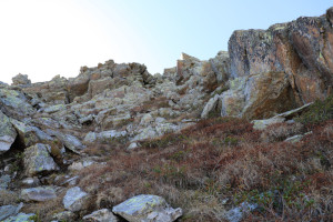
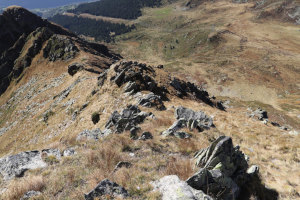
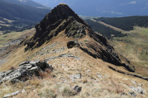
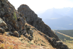
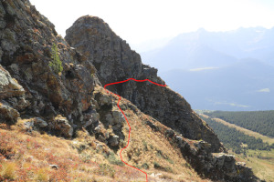
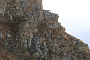
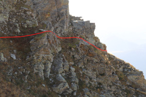
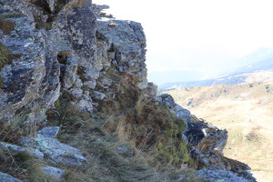
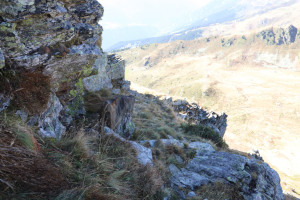
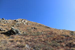
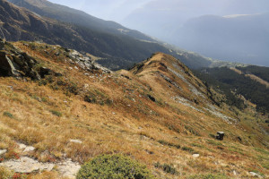
After the break, I set off again in the direction of the second summit of the day: the Poncionetto. I start by descending the south-west ridge of the Poncione di Mezzo, tending to the meadows on the right-hand side. The first section is a little steep but then becomes easier. Having reached the saddle at altitude 2356 metres, I find a slight track that continues on the right side of the ridge. Following it, slightly downhill, I reach a gully that descends westwards from the north face of the Poncionetto. The track crosses it and continues on the other side until it bypasses the mountain's west ridge. At first glance, the passage between the rocks on the other side of the gully seems difficult and very exposed. As I get closer, however, I notice that it is not as narrow as it seemed and that it is actually about 1 metre wide. I therefore manage to climb over it without too many problems and reach the west side of the Poncionetto. At this point, after a quick climb, I reach the summit.
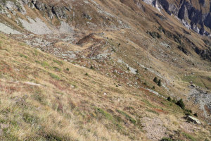
After a short break, I descend again towards the west, for about 30 metres, after which I turn left and begin to follow the south ridge of the mountain. At around 2240 metres altitude, I leave it to descend directly to Alpe di Mottella and from there, following the same route as in the morning, I return to Alpe Stou and finally to the parking area.
Water (Automatic translation in english)
There is a bathtub with an open tap at Alpe Stou at an altitude of 1861 metres and then no more.







Comments (0)