
Pizzo del Lago Scuro e Pizzo del Naret

Information
| Date: | 23 August 2024 |
| Maximum height: | 2648 m |
| Difference in height: | 630 m |
| Length: | 8 km |
| Kilometers effort: | 16.4 kmef |
| Duration: | 4 hours |
| Lakes reached: | Lago del Corbo |
Difficulties (Automatic translation in english)

|
From the parking area near Lake Naret to the altitude of 2530 metres (T1+ the first section on the road). |

|
From the altitude of 2530 metres to the summit of Pizzo del Lago Scuro (with several grade I climbing passages and 1 short grade II passage just before the summit). |
|
|
The descent from the quarries at altitude 2410 metres to Lago del Naret by the direct route. |

|
From the lake to the Naret Pass (T1+ the stretch of road to Lake Corbo). |
|
|
From the pass to almost the top of Pizzo del Naret. |
|
|
The last few metres to the summit of Pizzo del Naret (with some grade I climbing). |
Comment (Automatic translation in english)
Today's short hike in the Naret region with the Pizzo del Lago Scuro and Pizzo del Naret as targets.
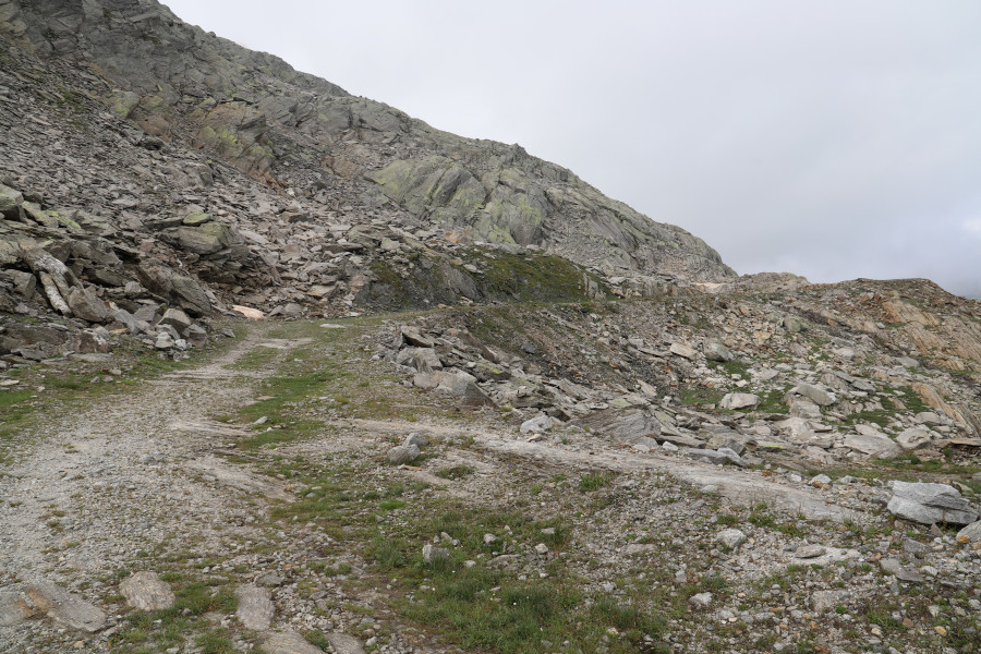
After reaching the car park near the dam, I start walking along the dirt road that climbs to the old quarries at an altitude of around 2400 metres. I then continue south-east, in the direction of Pizzo del Lago Scuro, trying to follow the stretches where there is grass as much as possible. Towards an altitude of 2530 metres, the grass almost completely disappears and there is nothing left to do but continue across the easy scree towards the summit. In the last few metres there is a short grade II climbing passage, after which I am at the summit. The view of the Valle di Peccia and Lago del Naret is very beautiful, even if it is covered by fog at times.
After a bite to eat, I go back down to the quarries and continue to the lake via the meadows. In this way I avoid almost 2 km of extra road. I then climb up to the Corbo Lake and continue on to the Naret Pass. I then leave the path to climb the easy slopes on the left in the direction of Pizzo del Naret. On the ascent, I stayed further north of the ridge because the terrain on that side seemed less steep and less rocky. On the way back, however, I noticed that there was a slight track along the ridge and so I descended following it.
Arriving at the summit, I found a small stone cairn waiting for me. However, I immediately noticed that the real summit, located about 2-3 metres higher, was almost 30 metres further southwest. To reach it, however, the difficulties increase because there is a rocky section to overcome. It is possible to continue either by following the ridge entirely or to descend slightly on the grassy slopes on the south side and thus avoid most of the rocks. Since space is limited on the summit, after a few minutes I return to the little stone cairn where I stop to eat.
After the break, I descend back to the Naret pass and then, bypassing the entire lake, I return to the parking area where this tour ends.
Water (Automatic translation in english)
There is a stream shortly after the starting point that enters Lake Naret. Near Lake Corbo there are also some streams, but I don't know if they are reliable because cows graze in that area.
Map of the Path


Summits
Lakes


Comments (0)