Monte Gradiccioli e Monte Ferraro

Information
| Date: | 23 May 2023 |
| Maximum height: | 1936 m |
| Difference in height: | 1300 m |
| Length: | 15.5 km |
| Kilometers effort: | 32.8 kmef |
| Duration: | 7 hours and 30 minutes |
Difficulties (Automatic translation in english)
Comment (Automatic translation in english)
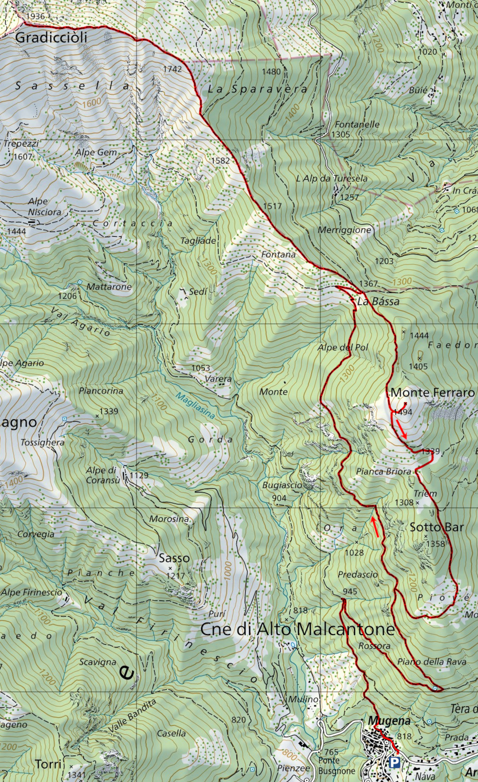
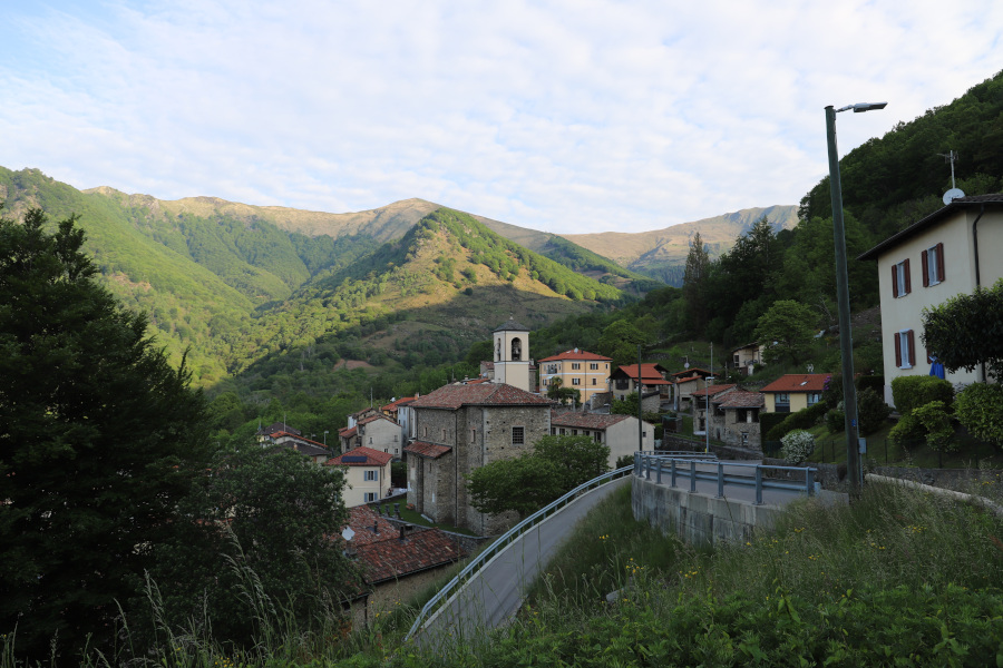
Today's excursion to Monte Gradiccioli and Monte Ferraro starts from Mugena in Malcantone. You can get there by public transport or by leaving your car in the car park near the cemetery.
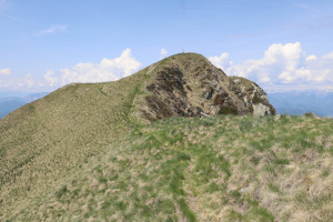
From the village I then start walking along the path up to La Bassa, after which I continue along the ridge that climbs to Monte Gradiccioli until I reach the summit. On the summit I find a beautiful granite cross and a bench. To the north I can admire the ridge leading to Monte Tamaro while on the opposite side is the ridge leading to Monte Lema.
After my lunch break, I descend again to La Bassa and then climb up to Monte Ferraro. On this peak, too, I find a bench but instead of a cross, there is a large stone cairn. The view is stupendous and can sweep over the entire Lugano area.
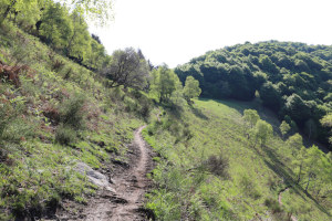
To return to Mugena, however, I decide to try to follow the unofficial path that descends to the south. Along that route also passes the race called the Scenic Trail and every so often there are blue signs indicating the direction to follow. Just be careful at an altitude of 1370 metres not to continue straight downhill but to turn left. In fact, the trail is not very visible in that section. Even in the meadow at an altitude of 1320 metres, one must pay a little attention because there is a track that continues to the west while the right path turns south. A final point where you must be careful is the fork at an altitude of 1296 metres, where you must follow the right-hand path because the left-hand path descends to Böscior. Once you have passed these points, you can no longer go wrong and in no time at all you reach the official route again at 1128 metres altitude. Following the same route as in the morning, I then returned to the starting point.
Water (Automatic translation in english)
There is a fountain with a tap in Mugena, where the path starts. Afterwards there are a few more streams until the fork at altitude 945 metres, then nothing.


Comments (0)