
Monte Boglia

Information
| Date: | 19 June 2020 |
| Maximum height: | 1516 m |
| Difference in height: | 750 m |
| Length: | 9.5 km |
| Kilometers effort: | 19.5 kmef |
| Duration: | 4 hours |
Difficulties (Automatic translation in english)

|
From the car park to below the Sasso Rosso. |

|
From below the Sasso Rosso to the top of Mount Boglia and back. |
|
|
From below Sasso Rosso to the carpark (some T2+ passages between altitudes 1200 and 1100 meters). |
Comment (Automatic translation in english)
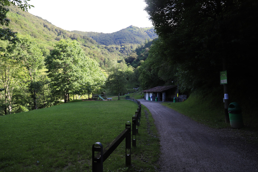
This trip to Monte Boglia starts from the village of Brè above Lugano, which can be reached by public transport. It is also possible to get there by car; in this case there is a large car park to the north of the village.
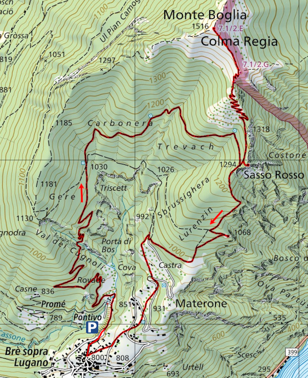
From this car park you start walking northwards through a small park. After about 150 metres you leave the main road and continue along a dirt road that climbs to the right. You continue to follow this road until the junction at an altitude of 1030 meters. From the fork you continue to climb north for about 200 meters, then turn east and continue until you reach below the Sasso Rosso. This small peak, listed on the national map, is not near the path but can only be reached by a short off-piste section. It is a fairly insignificant peak and you can also leave it out.
The path that leads to Monte Boglia instead is very beautiful, not very steep and with a constant slope. If you follow it, you will reach the summit, where the view can sweep over the whole Lugano and Val Solda.
For the return trip you can continue north to Alpe Bolla or descend again to Sasso Rosso. In the latter case, once you have reached the Sasso Rosso area, you can continue south to change your itinerary. This path, however, is not as beautiful as the previous one and some sections are a bit steep, at least up to an altitude of about 1100 meters where it improves a bit. When you reach the altitude of 960 meters you take an old mule track that leads back to the village of Brè.
Water (Automatic translation in english)
Along the climb, there are three aqueducts located at altitudes of about 1030, 1150 and 1260 metres. Each of them has a water tap. On the descent, there is still an aqueduct with a tap at an altitude of around 855 metres and two fountains, one in the centre of the village of Brè and one at the car park.
Map of the Path

Summits


Comments (0)