Lago di Fieud e Laghi Scuri
Information
| Date: | 9 August 2024 |
| Maximum height: | 2418 m |
| Difference in height: | 480 m |
| Length: | 7.2 km |
| Kilometers effort: | 13.6 kmef |
| Duration: | 3 hours |
| Lakes reached: | Lago di Fieud |
| Lago Scuro Inferiore | |
| Lago Scuro Superiore |
Comment (Automatic translation in english)
Today I felt like taking a short trip, so I decide to go and see Lake Fieud and the Dark Lakes in the Gotthard Pass region.
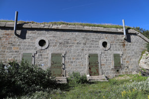
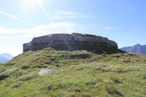
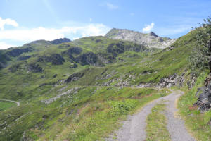
After reaching the car park at an altitude of 2045 metres, I start walking along the dirt road, which is closed to traffic, to the barracks at an altitude of 2043 metres. I then climb along the ridge towards the north-west until I first reach the Fieudo di mezzo infantry fort, at an altitude of 2071 metres, and then the Fieudo di sopra infantry fort, at an altitude of 2132 metres. These two fortifications were built in the early 1900s to protect the artillery emplacement at Motto Bartola but were later abandoned after the First World War.
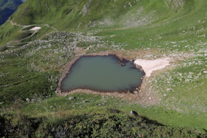
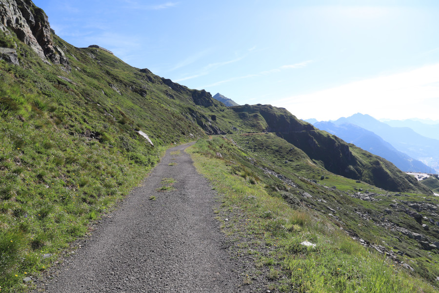
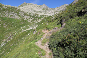
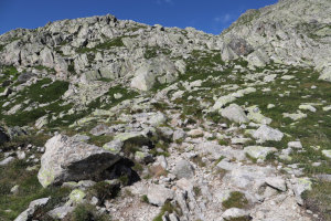
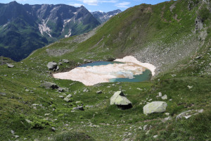
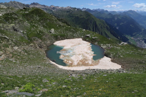
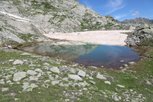
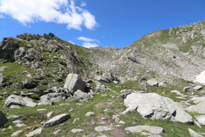
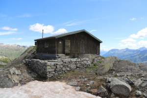
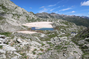
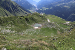
Lake Fieud, almost completely full, is now visible below me, while on the right the path continues to climb towards the Laghi Scuri. It does not present any particular difficulty, although in places there are several stones on the path and one must be a little careful. After following it, around an altitude of 2370 metres I leave it to go and see the Lower Dark Lake located 40 metres lower down. Unfortunately, it is still partly covered with dirty snow at this time. However, I decide to descend and walk around it to take numerous photos. Back on the path, I finally climb up to Lago Scuro Superiore where I stop for something to eat. While I'm at it, I also decide to go up to the barracks only 20 metres higher up on the path to the Lucendro Pass.
For the return journey, I follow the same path as on the way up, but I make a diversion to Lake Fieud, where I go down for a moment to take some photos. I then reach the barracks at an altitude of 2043 metres and follow the road back to the parking area where this excursion ends.
By avoiding the detours to Lago Scuro Inferiore and Lago di Fieud, the total height difference drops to 380 metres.
Water (Automatic translation in english)
There is no water except that of the lakes.






Comments (0)