
Laghetto di Chironico

Information
| Date: | 27 June 2024 |
| Maximum height: | 1831 m |
| Difference in height: | 1230 m |
| Length: | 14 km |
| Kilometers effort: | 30.4 kmef |
| Duration: | 7 hours |
| Lakes reached: | Laghetto di Chironico |
Difficulties (Automatic translation in english)

|
From the parking area in Valle to Cala (T2 up to the altitude of about 1,000 metres). |

|
From Cala to the fork at the altitude of 1497 metres. |

|
From the fork to the Laghetto di Chironico (with some T3 passages when the rocks are wet). |
Comment (Automatic translation in english)
Today's excursion to the Laghetto di Chironico in the Valle Leventina, called only Laghetto on the national map.
After reaching the village of Chironico, and then the hamlet of Valle, I start walking along the old mule track up to Cala (Cára on the new national maps). I had already walked this stretch in 2022 during the ascent to Pizzo Forno. After passing through the village, I continue along the path that leads to Piano dell'Ör, after which a descent of 80 metres in altitude awaits me, followed by an ascent that takes me back to an altitude of 1540 metres. A further descent and I reach the bridge over the Ticinetto river. Along the path I have just walked, there are some wet sections due to numerous springs and there is also a short passage on wet rock, grade I climbing, where I must proceed with caution (see photo).
After crossing the bridge, on my right I see a beautiful waterfall that is currently flowing very strongly, thanks to the recent rains. There are also numerous waterfalls on the rock face to the south, including a double one, i.e. two waterfalls very close together (see photo).
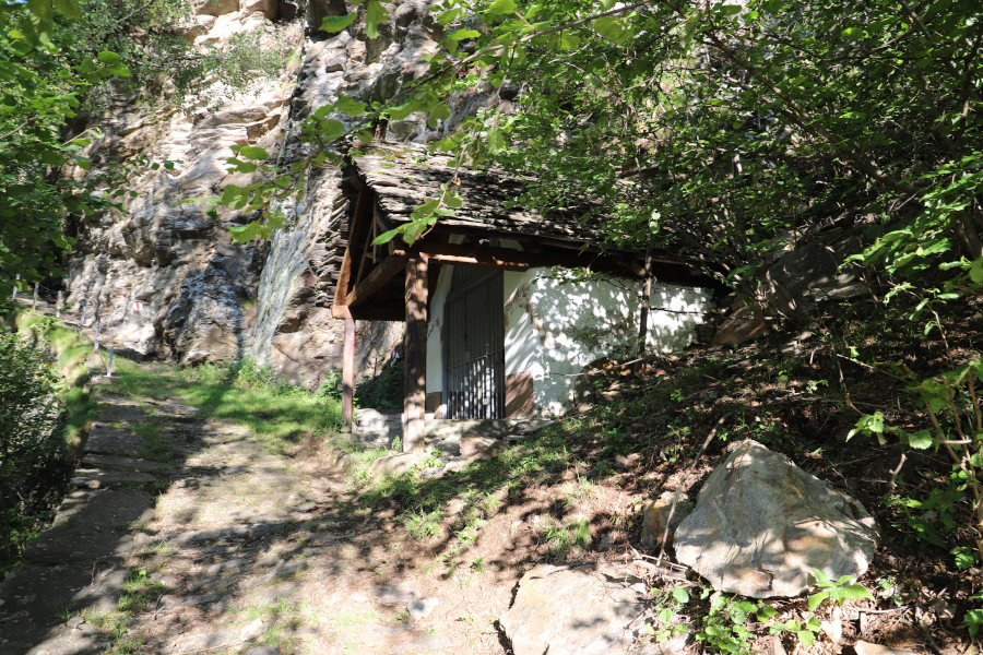
After crossing the plateau to the east, I start climbing again until I reach a small hut belonging to the fishermen of Chironico. A few more metres and I finally reach the small lake. In its waters there are still some blocks of ice from last winter's heavy snowfall.
After a quick look, I start climbing again to look for a better place from which to photograph the lake. I therefore stop at an altitude of 1831 metres where there are the remains of some farmsteads and from where I manage to take a few more photos.
After my lunch break, I go back down to the lake and continue until I return to the bridge over the Ticinetto. I go up and down again to Cala and after one last descent I am back at the parking area in Valle.
Water (Automatic translation in english)
There is a fountain at Cala after which there are a few streams as far as the bridge over the Ticinetto river. There are a few more on the way up to the lake, between an altitude of 1530 and 1700 metres, but they may be temporary and only present when it has just rained or there is snow at altitude.
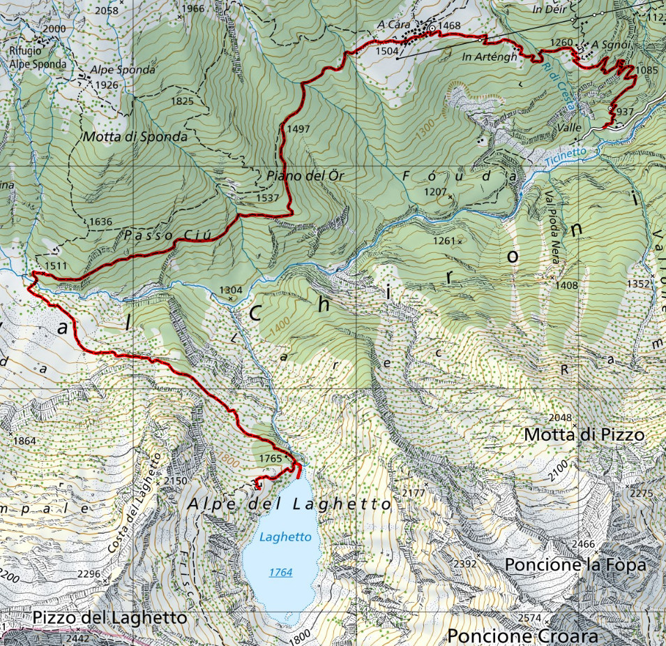
Map of the Path

Lakes
Other


Comments (0)