Lògia e Pizzo Baratin
Information
| Date: | 4 - 5 August 2024 |
| Maximum height: | 3079 m |
| Difference in height: | 1720 m |
| Length: | 19 km |
| Kilometers effort: | 41.9 kmef |
| Duration: | 11 hours |
| Huts reached: | Capanna Quarnei |
| Lakes reached: | Laghetto di Cardedo |
Difficulties (Automatic translation in english)
Comment (Automatic translation in english)
After the last trip to the Cima del Laghetto, today I return to Val Malvaglia to climb Lògia and Pizzo Baratin. Normally one could do this hike in a day, but I wanted to take it easy and decided to do it in two days, sleeping in a tent on the plateau at an altitude of 2400 metres.
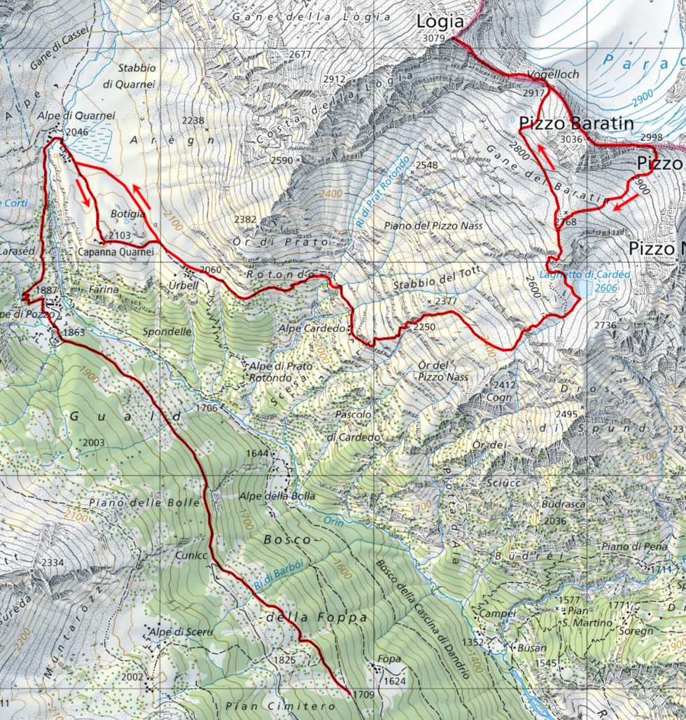
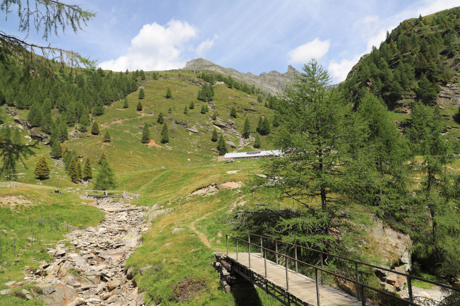
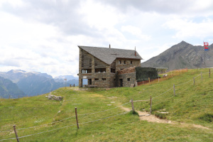
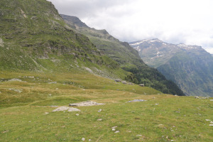
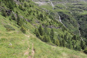
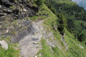
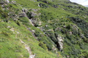
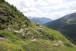
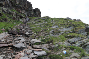
I first reach the car park after the village of Cusiè, after which I start walking along the dirt road that leads to Alpe di Pozzo. I then climb up the path to Alpe di Quarnei and continue on to the Quarnei Hut. I then head on to Ürbell, where the trail starts, leading to Alpe Cardedo and then up to the small lake of the same name. Once past the alp, blue and white signs appear along the trail, which were not there in 2022, when I passed the last time. They are part of the new Via Alta Crio, which climbs to the Vogeljoch, Pizzo Baratin and then continues to the Vogelberg and beyond. Following these signs, I reach the plateau at an altitude of 2400 metres where I pitch my tent and spend the night.
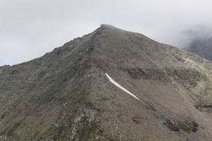
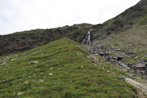
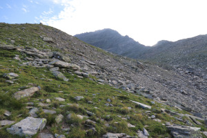
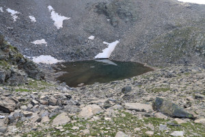
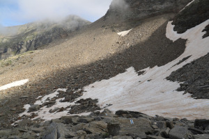
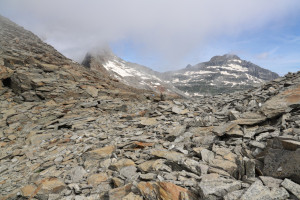
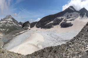
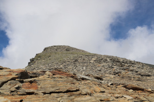
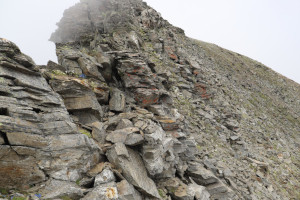
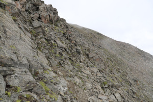
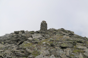
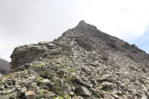
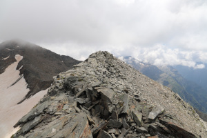
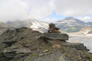
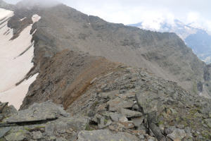
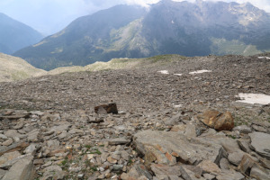
The next day I set off again with a lighter rucksack because I left my tent and sleeping bag behind a rock. I then climb following the new route that passes near the Laghetto di Cardedo. In 2022, while climbing Pizzo Cramorino, I had instead passed further north along the meadows of the Piano del Pizzo Nass. Where I pass today, on the other hand, the route is a little more stony but has the advantage of passing close to the lake, which is nice and full this year. Once I reach it, I take several photos and then set off again towards the point at altitude 2768 metres. I then continue along the Gane del Baratin until I reach the Vogeljoch, where I stop for a moment to rest and admire the Paradiesgletscher, which is right in front of me. After the break, I set off again to the left and began to climb the Lògia ridge, which is wide and easy to climb at first. Towards an altitude of 3,000 metres things change and the ridge becomes narrower and rockier. At first I stay on it but then I move to the right side and pass just below the rocks. It is a little exposed, but not too much. After this section, which is about 100 metres long, the most difficult part is over and in a short time I reach the summit of Lògia where I find a large stone cairn waiting for me.
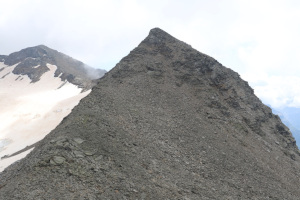
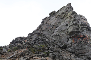
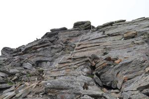
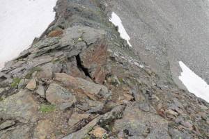
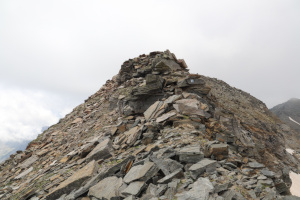
A short break and then I descend again to the Vogeljoch where I begin the ascent to the second peak of the day, Pizzo Baratin. Here too, up to an altitude of 3,000 metres, there are no particular problems. But then comes perhaps the most difficult section of the entire trip. There is, in fact, a wall about 6 metres high to overcome, to which, however, a rope has recently been attached that makes the climb much easier. I would say, however, that the difficulty remains around grade II, given that in some places I pulled myself up by weight. Having overcome this passage, all that remains for me to do is to follow the last stretch of ridge and I reach the summit of Pizzo Baratin.
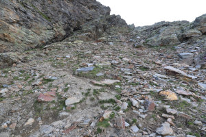
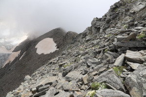
After my lunch break, I start to descend on the other side where the ridge is certainly easier than the one I had previously climbed. On this side there is only a short section of grade II climbing towards altitude 3015 metres and the rest is not difficult. Having reached the vent at altitude 2998 metres, one cannot immediately descend southwards because the rocks are steep. I therefore climb up the other side for about 10 metres until I find a favourable point from which to descend below the ridge. Having arrived on the rocks below, I descend them again, taking care not to slip because the rocks move quite a lot. Further down, the situation improves and the rocks become more stable. At an altitude of 2,750 metres, I take the path I followed in the morning and descend it again to the plateau at an altitude of 2,400 metres, where I retrieve my tent and sleeping bag. I then descend to Alpe Cardedo and continue on to Capanna Quarnei. However, I do not climb up to it but prefer to go around the hill in an anti-clockwise direction so as to avoid 20 metres of unnecessary climbing. Having reached Alpe di Quarnei, I then descend to Alpe di Pozzo and follow the road back to the car park where this outing ends.
Water (Automatic translation in english)
There is a fountain at Capanna Quarnei and then another at Alpe Cardedo. There are also several streams along the road from Cusiè up to Alpe di Pozzo. There is also the river near Alpe di Quarnei where the cows were grazing. Then there are some fairly large rivers along the path before Alpe Cardedo and finally there is the one that descends from Laghetto di Cardedo.






Comments (0)