Cima della Bianca
Information
| Date: | 20 August 2024 |
| Maximum height: | 2893 m |
| Difference in height: | 1290 m |
| Length: | 12.5 km |
| Kilometers effort: | 29.7 kmef |
| Duration: | 7 hours and 30 minutes |
| Huts reached: | Capanna Bovarina |
| Lakes reached: | Lago Retico |
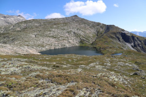
| Laghetto della Cima della Bianca |
Difficulties (Automatic translation in english)
Comment (Automatic translation in english)
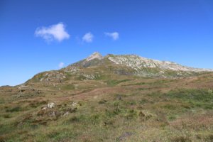
Cima della Bianca (called La Bianca on the new national map) is a mountain in Val di Campo located 2 km west of Lago Retico. There are mainly two ways to reach it from Canton Ticino. The first is to climb up the Val d'Inferno and then reach the summit from the south. The second is to climb up to the Rhaetian Lake and then reach the summit from the east. I choose to do the latter route because it seems the most interesting.
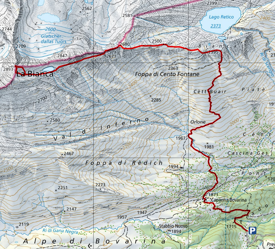
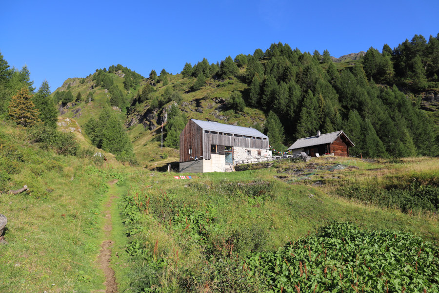
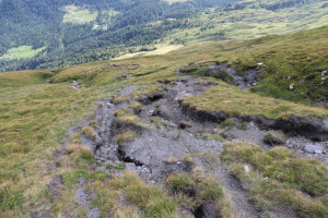
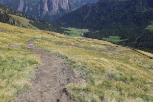
I first reach the parking area to the north-west of Alpe Predasca. I then climb up to the Capanna Bovarina and continue towards Lago Retico. From the ford at an altitude of 1967 metres up to an altitude of 2255 metres, the path has finally been resurfaced and is nice and smooth, although a little steep in places. The last time I had passed, however, it was full of channels that had formed due to the passage of water.
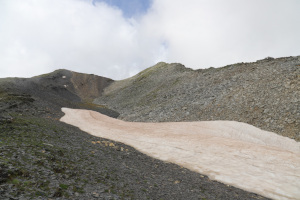
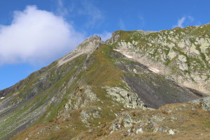
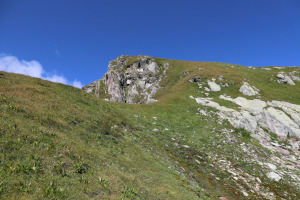
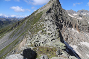
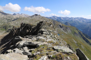
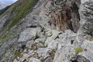
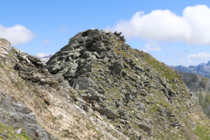
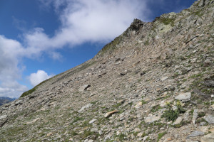
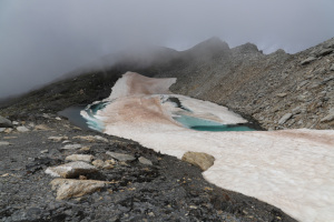
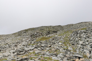
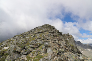
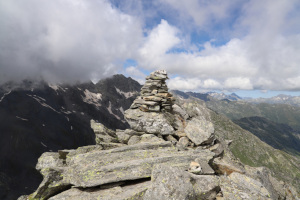
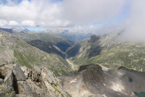
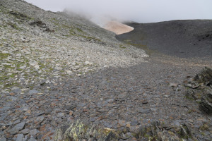
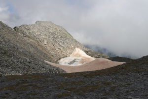
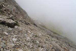
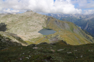
About 300 metres before reaching the lake, I leave the path and start to climb to the left, along the easy grassy ridge, until I reach the peak at 2680 metres. At that point, the most difficult section of the entire trip begins. There is in fact a ridge to climb that is quite wide at first but then narrows and becomes rockier. The temptation at first is to descend the grassy slopes on the south side, but I strongly advise against this because they become steeper and steeper as you descend. Instead, it is better to follow the entire ridge westwards to a rocky outcrop that must be bypassed on the north side. It is less ugly than it seems at first glance. When you reach the vent at altitude 2671 metres, you can continue along the ridge or go below, as I did, where the terrain is easier. In this way you arrive at the Cima della Bianca lake (unofficial name) still partly covered in snow. At this point, my destination, located only 100 metres higher, is finally visible. It is interesting to note the difference in colour between the rocks on the Cima della Bianca, which are light-coloured, and those further south, which are darker. Meanwhile, the fog continues to pass over my head. I soon reach the summit from where I can admire the Val Cristallina descending to the north.
After a short break, due to the cold wind blowing quite strongly at the summit, I start to descend again to the small lake. I then retrace my descent to the summit at 2680 metres, and following the same route as on the way up, I return again to the Capanna Bovarina. At that point, I am soon back at the parking area.
Water (Automatic translation in english)
There is a fountain at the Capanna Bovarina and then water at the Cima della Bianca lake.







Comments (0)