Cima del Laghetto
Information
| Date: | 23 July 2024 |
| Maximum height: | 2695 m |
| Difference in height: | 1040 m |
| Length: | 12.5 km |
| Kilometers effort: | 26.3 kmef |
| Duration: | 6 hours and 30 minutes |
| Lakes reached: | Laghetto dei Cadabi |
Difficulties (Automatic translation in english)
Comment (Automatic translation in english)
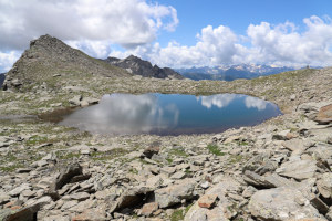
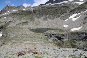
The plan for today's outing is to climb up to the Laghetto dei Cadabi, as it is quite full at the moment and the snow has now melted. While I'm at it, however, I will also climb the nearby Cima del Laghetto.
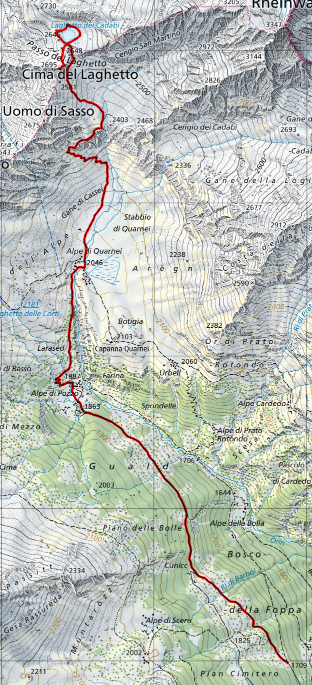
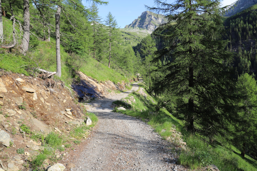
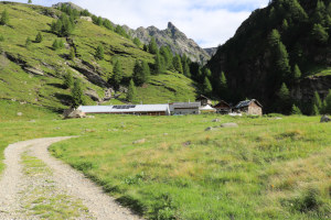
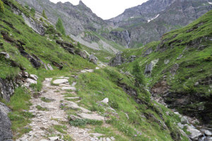
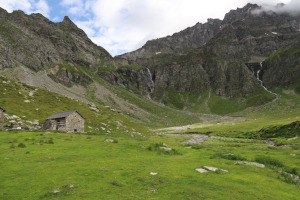
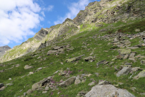
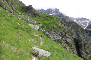
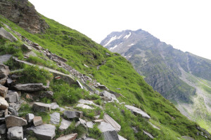
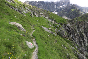
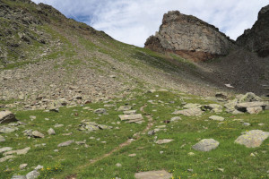
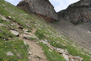
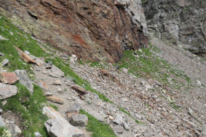
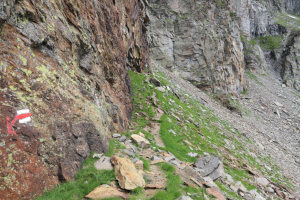
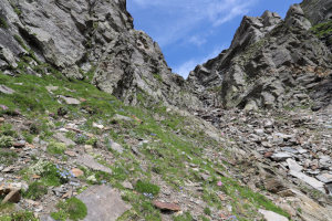
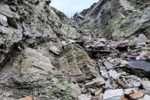
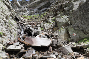
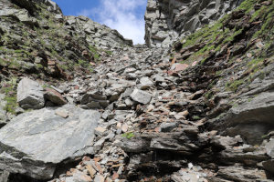
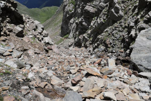
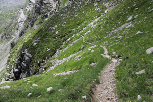
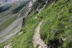
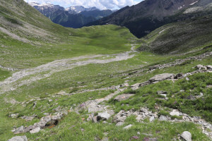
After reaching the car park near Cusiè, I start walking along the dirt road that leads to Alpe di Pozzo. I then climb along the path until I reach Alpe di Quarnei, after which I turn left and begin to climb the slopes to the north. At an altitude of 2320 metres, I reach a point where the path passes just a few metres north of a precipice and becomes a little more exposed. In addition, the slope of the meadow slopes right down to the precipice, so it is better to have steady nerves and not suffer from vertigo. After about 100-150 metres, the most challenging part is over and the ascent becomes quiet again. I then climb without any problems to an altitude of 2570 metres, where I reach the start of the scree gully that climbs up to the small lake. Inside, the route is not too difficult because the rocks are quite stable. There is, however, a stream that descends from the lake and in some places wets the stones on which one must pass a little. One must therefore be a little careful.
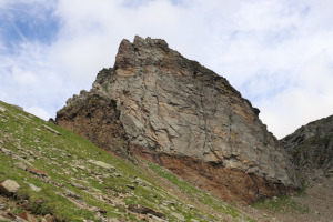
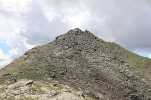
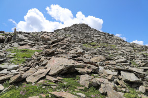
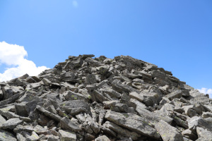
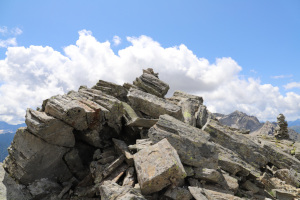
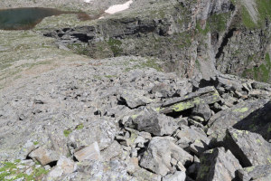
After crossing the gully I finally reach the Laghetto dei Cadabi where I stop for a while to take several photos. I then set off again towards the Cima del Laghetto, which is only 50 metres higher than where I am now. In the first part of the climb, the terrain is fairly easy. Only in the last 20 metres of altitude difference do I encounter a scree, but it is not particularly difficult. I then reach the Cima del Laghetto, where there are two small stone cairns. On the south-eastern side, the wall falls sheer for about 140 metres and offers an incredible panorama.
After my lunch break, I descend back to the little lake and follow the same route as on the way up to Alpe di Quarnei and finally to the car park from where I started.
Water (Automatic translation in english)
There are no fountains. There are, however, several streams along the road from Cusiè up to Alpe di Pozzo. Then there is the river that passes by Alpe di Quarnei, whose water, however, is perhaps best taken at altitude 2160 metres, before it passes through the cows' pasture. Then there are a few streams towards altitude 2370 metres, but these may be temporary. Finally, there is a stream inside the debris channel, towards altitude 2600 metres, whose water comes from the Laghetto dei Cadabi.





Comments (0)