Cima dei Cogn
Information
| Date: | 28 - 29 August 2024 |
| Maximum height: | 3062 m |
| Difference in height: | 1940 m |
| Length: | 13.5 km |
| Kilometers effort: | 39.3 kmef |
| Duration: | 11 hours |
| Huts reached: | Bivacco Piano della Parete |
Difficulties (Automatic translation in english)
Comment (Automatic translation in english)
Today, taking advantage of the still mild days in the mountains, I decide to climb the Cima dei Cogn in Val Malvaglia. I will also take the opportunity to see the new refuge built on the Piano della Parete by SAT Lucomagno. Since this excursion is long and with a lot of altitude difference, I decide to do it in two days, sleeping in a tent along the way.
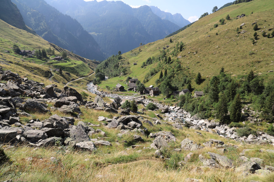
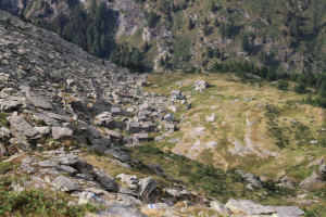
Having reached the hamlet of Fontané, after Dandrio, I start walking along the path that goes up to Soregn. I then continue on to the Alpe di Piotta where there is a nice group of farmsteads, all made of stone and with rafter roofs, which blend in very well with the surroundings. A short distance from the alpe I find a place to pitch my tent and spend the night. There is no one around and the only noises you can hear are those of a waterfall in the distance and the occasional sound of a plane passing overhead.
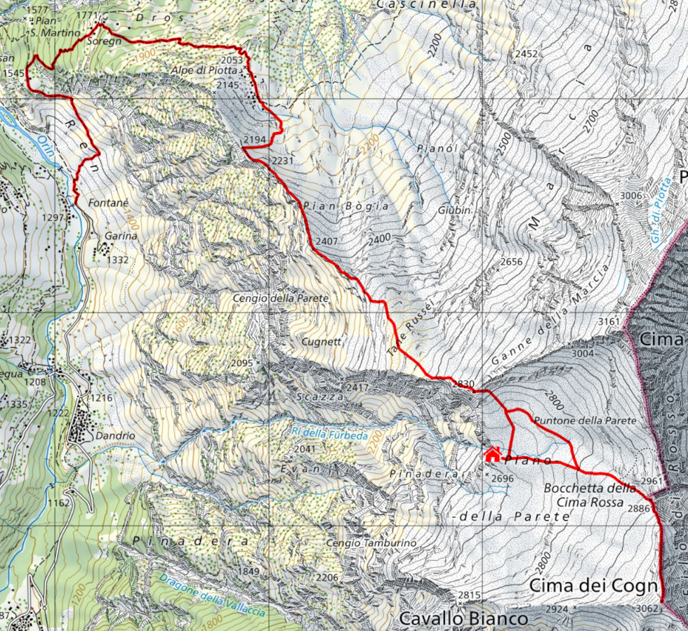
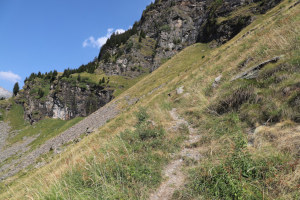
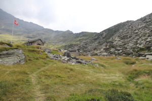
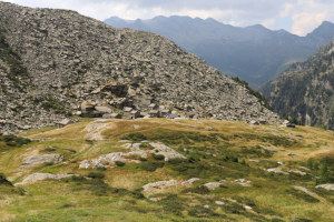
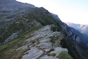
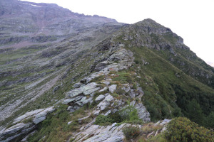
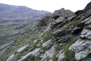
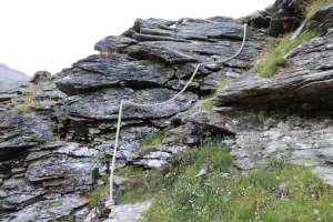
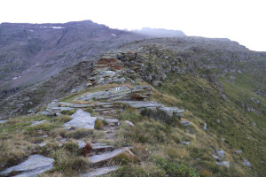
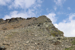
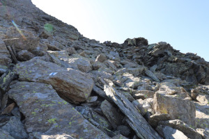
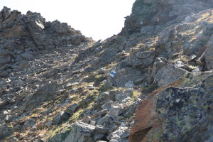
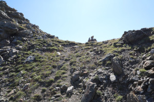
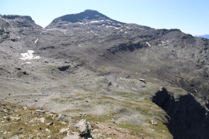
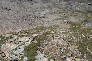
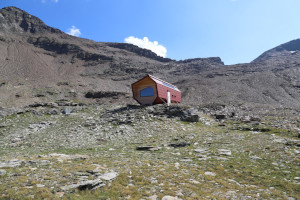
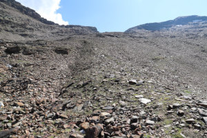
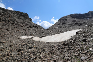
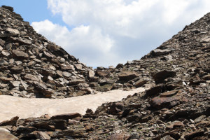
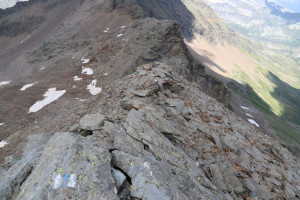
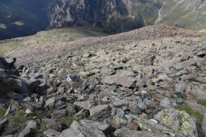
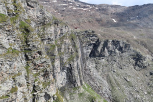
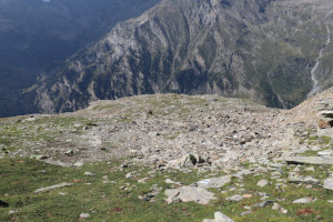
The next day, after unpacking the tent and hiding it in a bush, I set off with a lighter bag along the route up to the Piano della Parete bivouac. The route, which has been marked with white and blue paint, follows the ridge to the south and is somewhat exposed in places. There are some somewhat rocky sections with some grade I climbing and at one point there is also a small gully equipped with a rope. Nothing too difficult, however. Once past the altitude of 2480 metres, the route moves away from the ridge and the terrain becomes a little easier. Having arrived at an altitude of 2700 metres, I see for the first time the Piano della Parete bivouac, located not far from an overhang, and behind it the Cima dei Cogn. I continue to climb, now in an easterly direction, and after passing a scree slope I reach the pass at an altitude of 2830 metres, the only possible passage to cross the west ridge of Cima Rossa. On the other side, the descent is a little easier and in a short time I reach the new refuge, which at the moment has not yet been included on all the national maps. For this reason I have added it on my route map by inserting a drawing of a little red house.
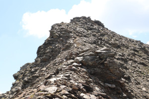
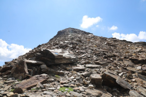
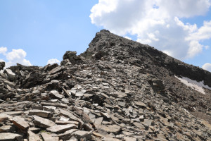
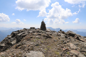
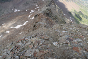
After taking a few photos, I set off again in the direction of the Bocchetta della Cima Rossa. After reaching it, I turn right and start to climb the north ridge of Cima dei Cogn, which is very wide at first but then becomes narrower towards altitude 2980 metres. Just before the summit there is one last stretch that is a little steep, after which I reach the summit.
For the return trip, I descend again to the Piano della Parete but before reaching the bivouac I leave the path to head directly towards the pass at altitude 2830 metres. In this way I avoid an unnecessary descent of almost 30 metres. Having reached the pass I then descend to Alpe di Piotta where I retrieve my tent and sleeping bag. After a final descent I am back at Fontané where this hike ends.
Water (Automatic translation in english)
There is a fountain immediately above Fontané, at an altitude of 1313 metres, and then there are even three at Alpe di Piotta. There would also be one at the Piano della Parete bivouac, but when I arrived it was not working because it was probably obstructed. Not too bad, because there is a stream right behind the hut anyway.






Comments (0)